Welcome to website
PT. RIMBA ANUGERAH PERKASA
MANAGEMENT AND CONSULTANT
Jasa Pemetaan, Jasa Survei, Jasa Foto Udara, Jasa Penelitian dan pengembangan Kota palangka Raya Provinsi Kalimantan Tengah
WHAT WE DO?

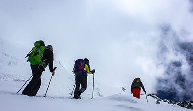
Survey and Mapping
Collection of data and information on adequate regional-based resources (both natural, social and cultural) with remote sensing technology

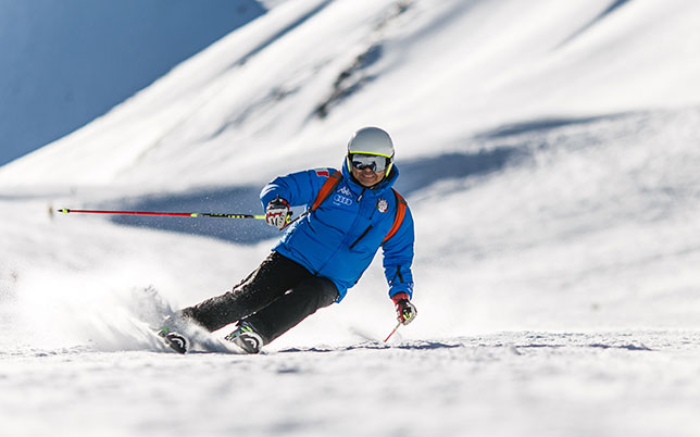
Planting and Conservation
Collection of data and information on adequate regional-based resources (both natural, social and cultural) with remote sensing technology
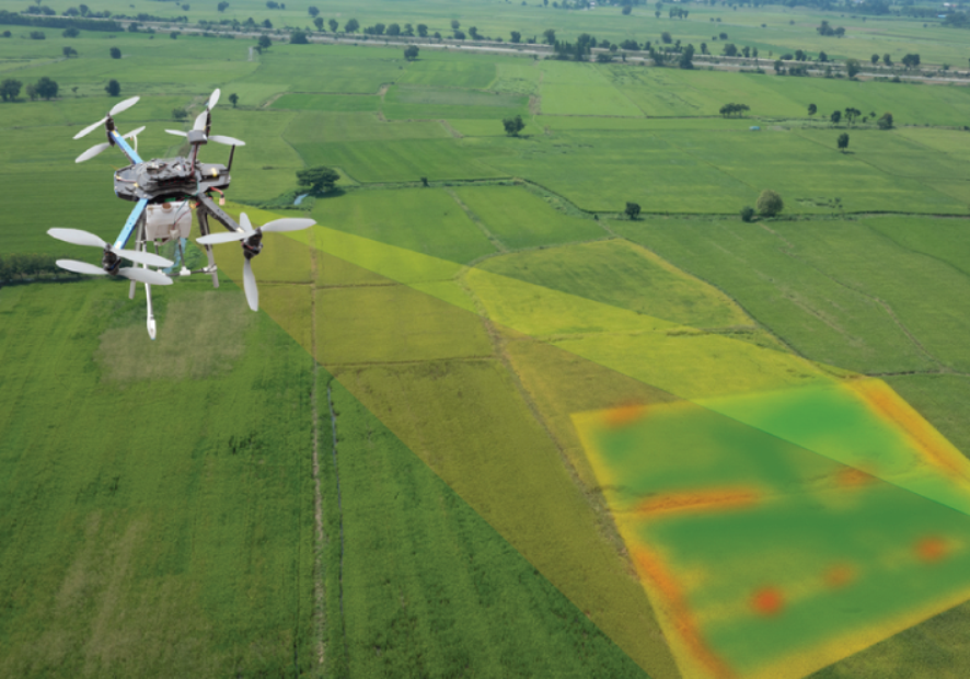
Drone Mapping
Activities to obtain spatial information in a particular region or area which will later be implemented in the form of a map by utilizing an unmanned aerial vehicle (UAV)

Research and Development
Research and development are systematic processes for seeking new knowledge, understanding phenomena, or answering unanswered questions, with the aim of exploring, deconstructing, or comprehending natural or human phenomena, ultimately leading to the creation of products
Explore WEBMAP
A web map is a digital map that can be accessed and viewed online via the internet. Providing data such as aerial photos, satellite images, spatial data, and so on. You can see it in the button below
Upcoming Tours & Destination
Fuerat aestu carentem habentia spectent tonitrua mutastis locavit liberioris. Sinistra possedit litora ut nabataeaque. Setucant coepyterunt perveniunt animal! Concordi aurea nabataeaque seductaque constaque cepit sublime flexi nullus.